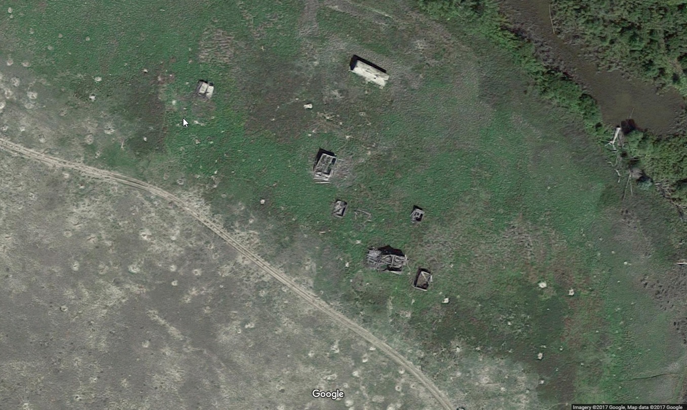
Ghost Towns of the West-Rocky Point MT Google Maps
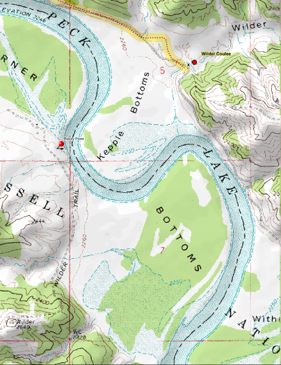
Rocky Point-From U.S. Highway 191, 5.7 miles east on CMR Auto Nature Tour Road, 7.7 miles on local road along north bank of Missouri River.
A. Broadwater, Helena merchant, financier, entrepeneur, was one of the businessmen involved in the Carroll Trail (1872-1874). During its short existence, Broadwater made a trip by horseback from Carroll up river to Fort Benton and overland to Helena. He knew that Rocky Point, two bottoms above Carroll, had an existing ferry, a good solid crossing with north and south travel as well as it was an early woodhawk location. He seized the opportunity to move up to Rocky Point where he built a 2 story, 40′ X 90′ trading post and was awarded a Government contract through his business associate and dear friend, Amhert Wilder of St. Paul, Minnesota. He asked for Cantonment Rocky Point which consisted for 19 infantry men to guard the government freight shipments destined for Fort Maginnis in 1881 as well as mill machinery for the new gold mines at Maiden. Gold had also been discovered in the Little Rockies and some shipments went to the north, which made this a busy river port.
The Military Telegraph line from Fort Buford (North Dakota) via Camp Poplar, Ft. Galpin (near Ft Peck), Hawley, Wilders Landing to Fort Maginnis was completed in 1882 and an office at Rocky Point opened. This line was built by soldiers in three sections.

I am attempting to contact the author of this story. Ghost Towns of the West-Rocky Point, MT. As my great-great grandfather was one of the early pioneer to help establish this location. I have an authentic photo to share and a story to add. Would appreciate talking with you about this history.
Thank you for reaching out. We have a project similar to our current Auto Trails channel that we hope to initiate later this year. It would show a drive to ghost towns around the U.S.